Discover the Jews' Temporary Shelter, 1941-1951
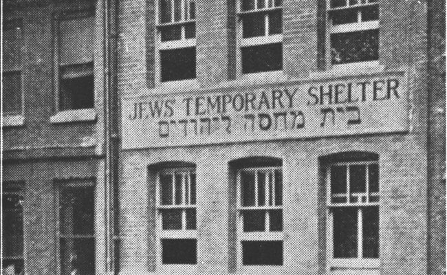
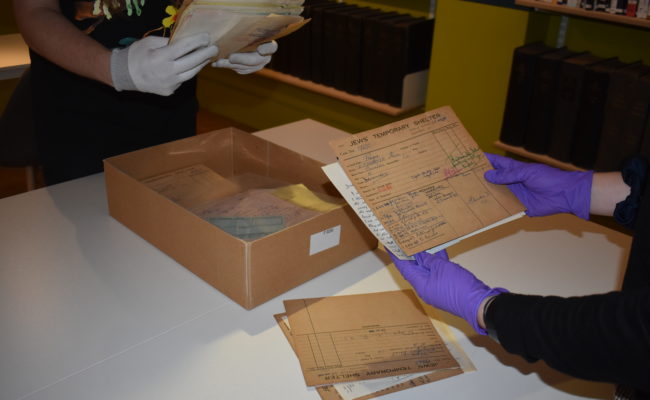
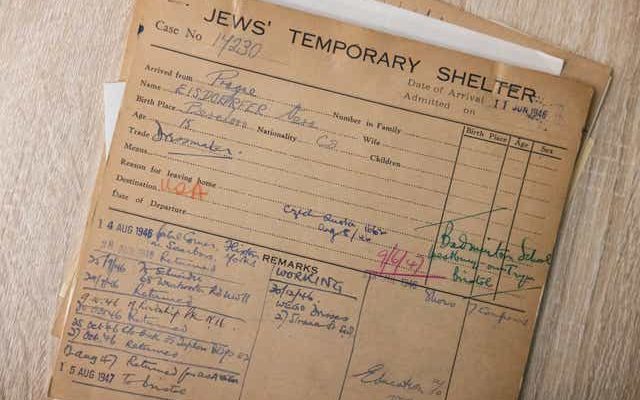
The first of our digitisation projects to take place in our recently opened Research Centre involved a team of volunteers scanning and digitising the information contained within a set of 243 record cards. These records reveal information about residents of the Jews’ Temporary Shelter throughout the 1940s and 1950s, post WWII.
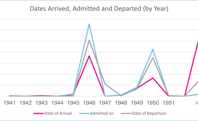
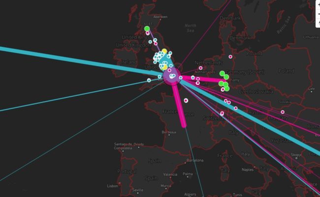
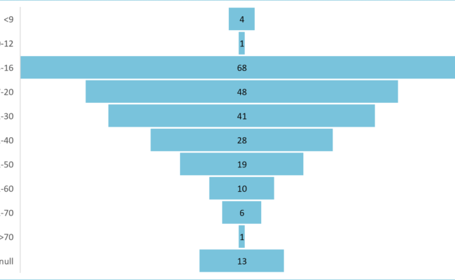
By gathering together this information into a simplified spreadsheet, we are now able to interpret the data to get a sense of migrant activity during this time; how old were the majority of people using the shelter? Where were people coming from? Where were people heading to? What kind of occupations and skill sets did they bring to the country?
Work has been undertaken to create accessible visualisations to help answer these questions and better understand the situation at the time. In turn we hope this data will inspire more research into the collection.
The JTS Cards Project, Mapping Migration, is supported by The Audience Agency’s Digitally Democratising Archives project thanks to funding from DCMS and the National Lottery, as part of The National Lottery Heritage Fund’s, Digital Skills for Heritage initiative.


![]()
Except where noted and excluding company and organisation logos this work is shared under a Creative Commons Attribution 4.0 (CC BY 4.0) Licence
Please attribute as: “Mapping Migration: The Jews’ Temporary Shelter following WWII ” (2022) by Jewish Museum London supported by The National Lottery Heritage Fund, licensed under CC BY 40